Path beside Penilee Road
Introduction
The photograph on this page of Path beside Penilee Road by Lairich Rig as part of the Geograph project.
The Geograph project started in 2005 with the aim of publishing, organising and preserving representative images for every square kilometre of Great Britain, Ireland and the Isle of Man.

There are currently over 7.5m images from over 14,400 individuals and you can help contribute to the project by visiting https://www.geograph.org.uk
Path beside Penilee Road
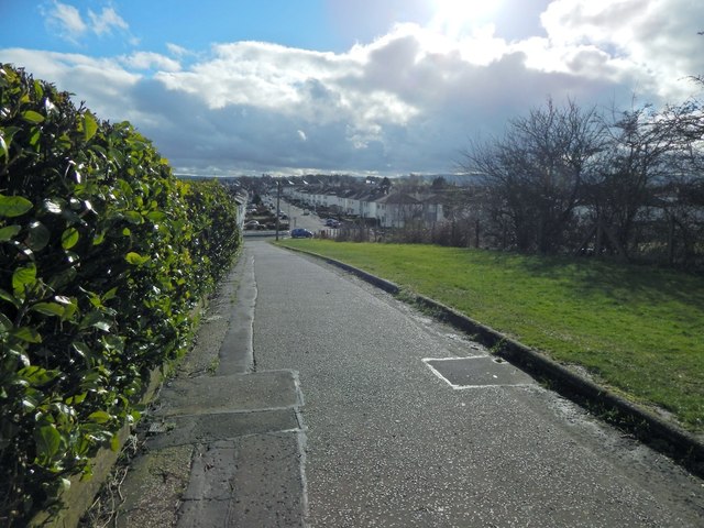
Image: © Lairich Rig Taken: 28 Feb 2014
The path provides pedestrian access to the western end of Atholl Crescent (behind the photographer's position). Ahead, School Road, entering from the left, meets Penilee Road, which can be seen receding into the background.
Images are licensed for reuse under creativecommons.org/licenses/by-sa/2.0
Image Location
Latitude
55.850105
Longitude
-4.380007