Westlink flyover, Belfast
Introduction
The photograph on this page of Westlink flyover, Belfast by Albert Bridge as part of the Geograph project.
The Geograph project started in 2005 with the aim of publishing, organising and preserving representative images for every square kilometre of Great Britain, Ireland and the Isle of Man.

There are currently over 7.5m images from over 14,400 individuals and you can help contribute to the project by visiting https://www.geograph.org.uk
Westlink flyover, Belfast
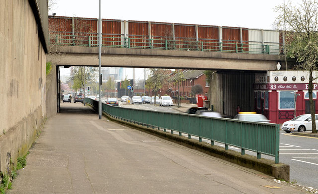
Image: © Albert Bridge Taken: 2 Apr 2014
The Westlink Image crosses North Queen Street by this flyover. The M2 is to the right. The wall of the former police station Image is on the left.
Images are licensed for reuse under creativecommons.org/licenses/by-sa/2.0
Image Location
Latitude
54.607487
Longitude
-5.930795