Farmland near Hatton
Introduction
The photograph on this page of Farmland near Hatton by Ken Fitlike as part of the Geograph project.
The Geograph project started in 2005 with the aim of publishing, organising and preserving representative images for every square kilometre of Great Britain, Ireland and the Isle of Man.

There are currently over 7.5m images from over 14,400 individuals and you can help contribute to the project by visiting https://www.geograph.org.uk
Farmland near Hatton
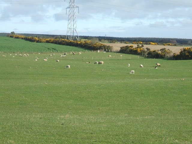
Image: © Ken Fitlike Taken: 6 Apr 2007
Yonderton or Greystone farms. A nice bright spring morning - newly lambed flock of sheep being fed on the last of the winter's turnip stock. The grass will be growing soon though.
Images are licensed for reuse under creativecommons.org/licenses/by-sa/2.0
Image Location
Latitude
57.431342
Longitude
-1.945692