Another Low Bridge
Introduction
The photograph on this page of Another Low Bridge by Danny P Robinson as part of the Geograph project.
The Geograph project started in 2005 with the aim of publishing, organising and preserving representative images for every square kilometre of Great Britain, Ireland and the Isle of Man.

There are currently over 7.5m images from over 14,400 individuals and you can help contribute to the project by visiting https://www.geograph.org.uk
Another Low Bridge
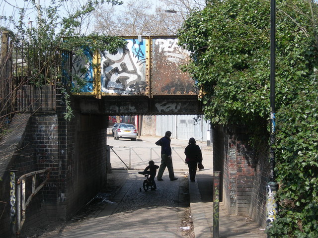
Image: © Danny P Robinson Taken: 6 Apr 2007
This is a pedestrian and cycle route from Markfield Recreation Area to Markfield Road Industrial Area. It is a short cut to Tottenham Hale. Here is the other low bridge photographed within this square http://www.geograph.org.uk/photo/169752
Images are licensed for reuse under creativecommons.org/licenses/by-sa/2.0
Image Location
Latitude
51.582089
Longitude
-0.064524