Lichfield Road
Introduction
The photograph on this page of Lichfield Road by Christine Johnstone as part of the Geograph project.
The Geograph project started in 2005 with the aim of publishing, organising and preserving representative images for every square kilometre of Great Britain, Ireland and the Isle of Man.

There are currently over 7.5m images from over 14,400 individuals and you can help contribute to the project by visiting https://www.geograph.org.uk
Lichfield Road
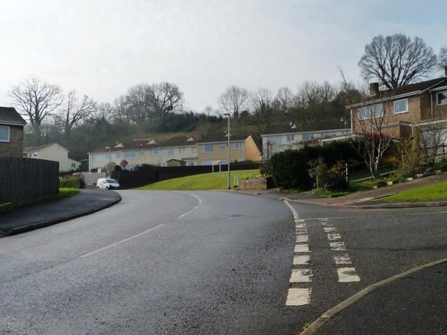
Image: © Christine Johnstone Taken: 29 Mar 2014
At the junction with Ely Close. All the roads in this suburb are named after cathedrals.
Images are licensed for reuse under creativecommons.org/licenses/by-sa/2.0
Image Location
Latitude
50.725156
Longitude
-3.562065