Footbridge over road
Introduction
The photograph on this page of Footbridge over road by Lairich Rig as part of the Geograph project.
The Geograph project started in 2005 with the aim of publishing, organising and preserving representative images for every square kilometre of Great Britain, Ireland and the Isle of Man.

There are currently over 7.5m images from over 14,400 individuals and you can help contribute to the project by visiting https://www.geograph.org.uk
Footbridge over road
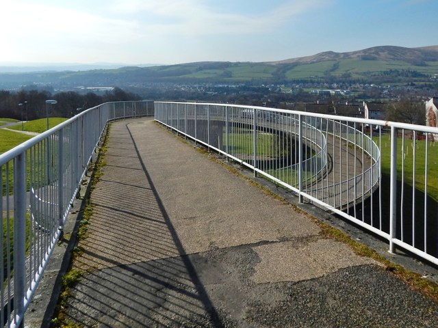
Image: © Lairich Rig Taken: 24 Feb 2014
This is the footbridge that is marked as "FB" on the 1:25000 OS map. It leads from Pappert (near side) to Ladyton (for a view back towards this footbridge from the section of path visible on the left, see Image). The houses in the middle distance, on the right, are in Ladyton, but those in the background are in Renton and Alexandria. Carman Hill (Image) and adjacent muirs are in the background, on the right.
Images are licensed for reuse under creativecommons.org/licenses/by-sa/2.0
Image Location
Latitude
55.980117
Longitude
-4.561283