Edge of a field
Introduction
The photograph on this page of Edge of a field by Lairich Rig as part of the Geograph project.
The Geograph project started in 2005 with the aim of publishing, organising and preserving representative images for every square kilometre of Great Britain, Ireland and the Isle of Man.

There are currently over 7.5m images from over 14,400 individuals and you can help contribute to the project by visiting https://www.geograph.org.uk
Edge of a field
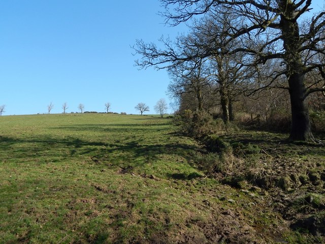
Image: © Lairich Rig Taken: 24 Feb 2014
The picture was taken near the southern end of a Image To the right, on the other side of the field boundary, is Pappert Well Community Woodland.
Images are licensed for reuse under creativecommons.org/licenses/by-sa/2.0
Image Location
Latitude
55.983408
Longitude
-4.562943