Disused quarry: eastern side
Introduction
The photograph on this page of Disused quarry: eastern side by Lairich Rig as part of the Geograph project.
The Geograph project started in 2005 with the aim of publishing, organising and preserving representative images for every square kilometre of Great Britain, Ireland and the Isle of Man.

There are currently over 7.5m images from over 14,400 individuals and you can help contribute to the project by visiting https://www.geograph.org.uk
Disused quarry: eastern side
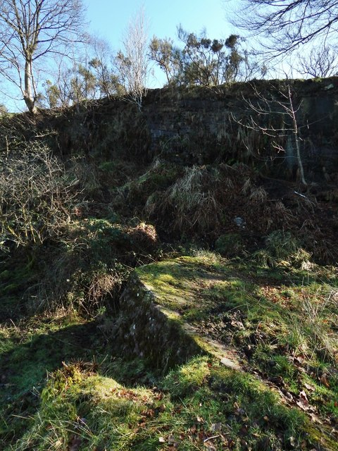
Image: © Lairich Rig Taken: 24 Feb 2014
The curved step-like mass in the foreground is the same worked area as appears in the foreground of Image, but the present view shows it side-on. In the background is the high eastern wall of the pit. See Image for the main description, and click on the end-note title for more pictures.
Images are licensed for reuse under creativecommons.org/licenses/by-sa/2.0
Image Location
Latitude
55.983467
Longitude
-4.56439