Rookery Farm
Introduction
The photograph on this page of Rookery Farm by Keith Evans as part of the Geograph project.
The Geograph project started in 2005 with the aim of publishing, organising and preserving representative images for every square kilometre of Great Britain, Ireland and the Isle of Man.

There are currently over 7.5m images from over 14,400 individuals and you can help contribute to the project by visiting https://www.geograph.org.uk
Rookery Farm
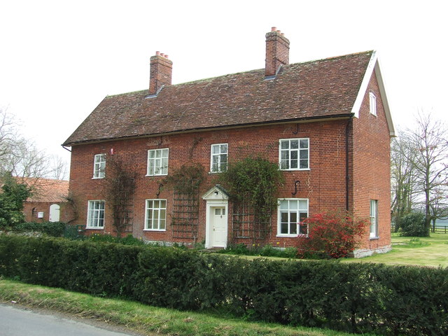
Image: © Keith Evans Taken: 27 Mar 2014
Farmhouse at Rookery farm near to Kettleburgh, Suffolk. For view of the name sign see http://www.geograph.org.uk/photo/3909232
Images are licensed for reuse under creativecommons.org/licenses/by-sa/2.0
Image Location
Latitude
52.197558
Longitude
1.324432