Brook Lane at turning for Beckless Farm
Introduction
The photograph on this page of Brook Lane at turning for Beckless Farm by Robin Webster as part of the Geograph project.
The Geograph project started in 2005 with the aim of publishing, organising and preserving representative images for every square kilometre of Great Britain, Ireland and the Isle of Man.

There are currently over 7.5m images from over 14,400 individuals and you can help contribute to the project by visiting https://www.geograph.org.uk
Brook Lane at turning for Beckless Farm
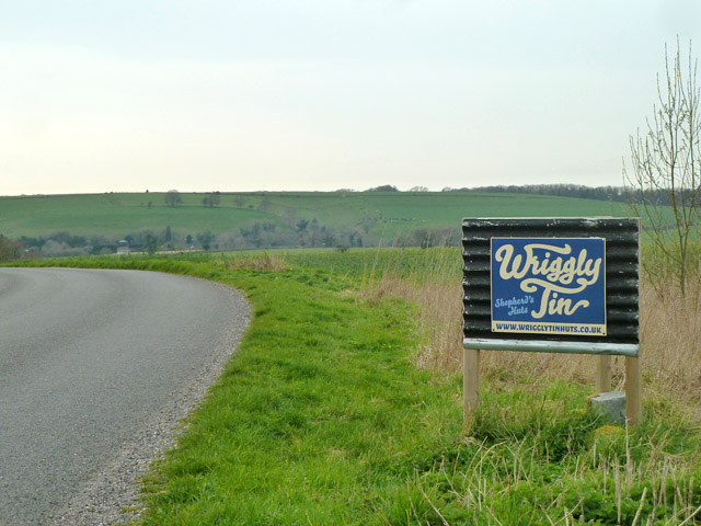
Image: © Robin Webster Taken: 30 Mar 2014
The turning is to the right just behind the camera, with a sign apparently indicating that the farm does a line in shepherd's huts. In fact the tin huts (on wheels) are for 'vintage camping' on the site.
Images are licensed for reuse under creativecommons.org/licenses/by-sa/2.0
Image Location
Latitude
50.943669
Longitude
-1.078034