Mudflats & seawall, Tollesbury
Introduction
The photograph on this page of Mudflats & seawall, Tollesbury by Roger Jones as part of the Geograph project.
The Geograph project started in 2005 with the aim of publishing, organising and preserving representative images for every square kilometre of Great Britain, Ireland and the Isle of Man.

There are currently over 7.5m images from over 14,400 individuals and you can help contribute to the project by visiting https://www.geograph.org.uk
Mudflats & seawall, Tollesbury
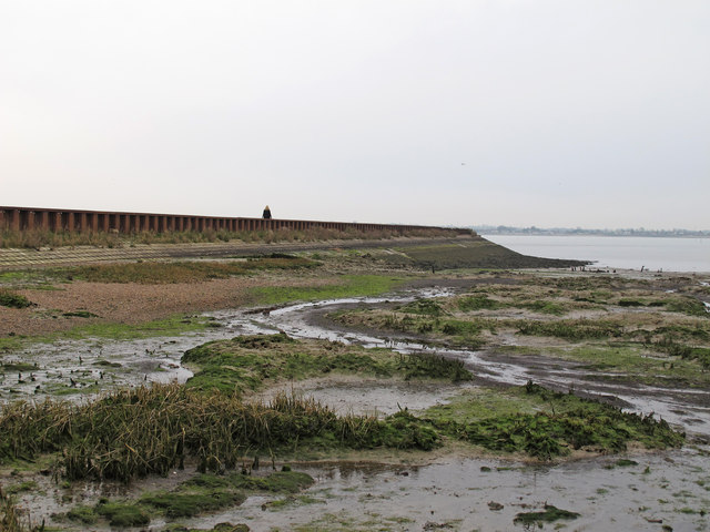
Image: © Roger Jones Taken: 30 Mar 2014
Taken from the intertidal zone looking towards the seawall on the shore of the Blackwater Estuary. A public footpath runs along the seawall, note the walker in the distance.
Images are licensed for reuse under creativecommons.org/licenses/by-sa/2.0
Image Location
Latitude
51.739916
Longitude
0.812907