Trail to the birdwatching hide, Portmore Lough
Introduction
The photograph on this page of Trail to the birdwatching hide, Portmore Lough by Dean Molyneaux as part of the Geograph project.
The Geograph project started in 2005 with the aim of publishing, organising and preserving representative images for every square kilometre of Great Britain, Ireland and the Isle of Man.

There are currently over 7.5m images from over 14,400 individuals and you can help contribute to the project by visiting https://www.geograph.org.uk
Trail to the birdwatching hide, Portmore Lough
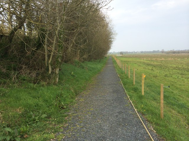
Image: © Dean Molyneaux Taken: 30 Mar 2014
The trail leads from the car park and shelter off the George's Island Road, down a wooden walkway and along this gravel path, before taking a right turn ahead and leading up to the hide by the lough shore. The townland here is Deer Park.
Images are licensed for reuse under creativecommons.org/licenses/by-sa/2.0
Image Location
Latitude
54.555909
Longitude
-6.293125