The Three Mile Water, Whiteabbey (March 2014)
Introduction
The photograph on this page of The Three Mile Water, Whiteabbey (March 2014) by Albert Bridge as part of the Geograph project.
The Geograph project started in 2005 with the aim of publishing, organising and preserving representative images for every square kilometre of Great Britain, Ireland and the Isle of Man.

There are currently over 7.5m images from over 14,400 individuals and you can help contribute to the project by visiting https://www.geograph.org.uk
The Three Mile Water, Whiteabbey (March 2014)
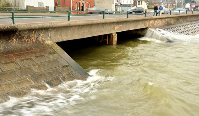
Image: © Albert Bridge Taken: 30 Mar 2014
See Image (February 2014). The same view today, about ten minutes after high water Belfast, as the river encounters a slightly breezy Belfast Lough.
Images are licensed for reuse under creativecommons.org/licenses/by-sa/2.0
Image Location
Latitude
54.675234
Longitude
-5.894326