Pewley Down
Introduction
The photograph on this page of Pewley Down by Carroll Pierce as part of the Geograph project.
The Geograph project started in 2005 with the aim of publishing, organising and preserving representative images for every square kilometre of Great Britain, Ireland and the Isle of Man.

There are currently over 7.5m images from over 14,400 individuals and you can help contribute to the project by visiting https://www.geograph.org.uk
Pewley Down
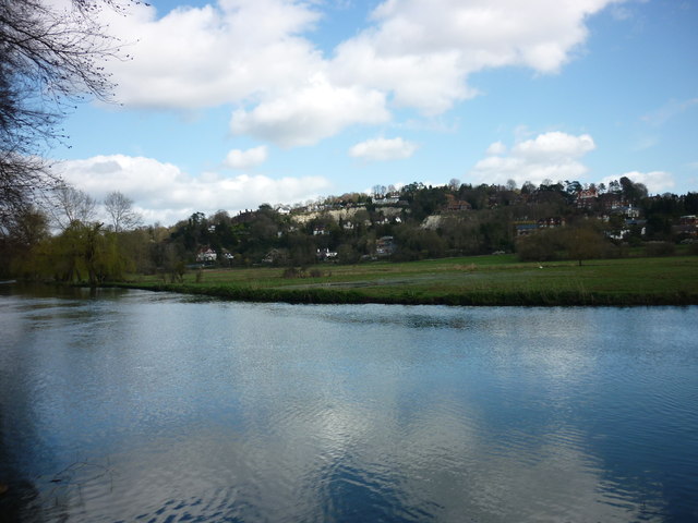
Image: © Carroll Pierce Taken: 21 Mar 2014
Looking up to Pewley Down across Shalford Park from the towparth on the Godalming Navigations section of the River Wey, Guildford, Surrey.
Images are licensed for reuse under creativecommons.org/licenses/by-sa/2.0
Image Location
Latitude
51.229375
Longitude
-0.569774