Blackwood boundary sign
Introduction
The photograph on this page of Blackwood boundary sign by Jaggery as part of the Geograph project.
The Geograph project started in 2005 with the aim of publishing, organising and preserving representative images for every square kilometre of Great Britain, Ireland and the Isle of Man.

There are currently over 7.5m images from over 14,400 individuals and you can help contribute to the project by visiting https://www.geograph.org.uk
Blackwood boundary sign
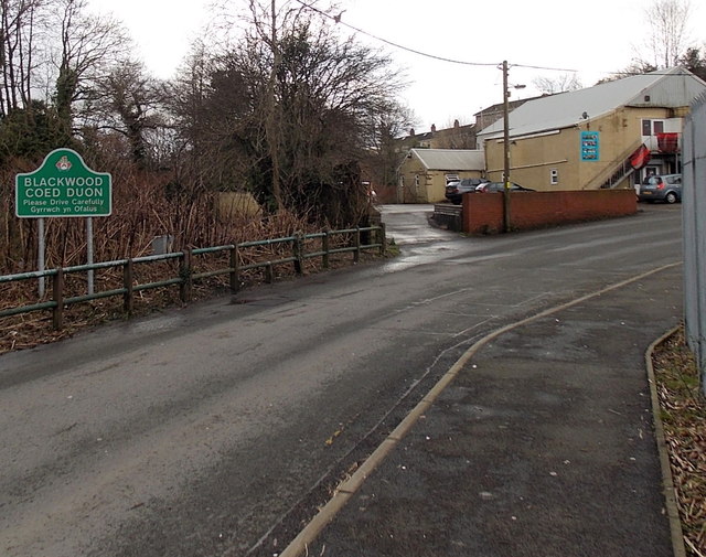
Image: © Jaggery Taken: 18 Feb 2014
Located between the Sirhowy River behind the camera and Unique Health & Fitness http://www.geograph.org.uk/photo/3906765 ahead.
Images are licensed for reuse under creativecommons.org/licenses/by-sa/2.0
Image Location
Latitude
51.665016
Longitude
-3.190623