Cwm Clydach
Introduction
The photograph on this page of Cwm Clydach by Alan Richards as part of the Geograph project.
The Geograph project started in 2005 with the aim of publishing, organising and preserving representative images for every square kilometre of Great Britain, Ireland and the Isle of Man.

There are currently over 7.5m images from over 14,400 individuals and you can help contribute to the project by visiting https://www.geograph.org.uk
Cwm Clydach
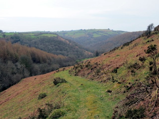
Image: © Alan Richards Taken: 29 Mar 2014
Llwybr Ceffyl a arwain i lawer at Gwm Clydach o Ffarm Pentregronw (adfail) a'r mynydd agored. A bridleway descending towards Cwm Clydach from Pentregronw Farm (ruin) and the open moorland.
Images are licensed for reuse under creativecommons.org/licenses/by-sa/2.0
Image Location
Latitude
51.938506
Longitude
-3.759671