Ffarm Pentregronw / Pentregronw Farm
Introduction
The photograph on this page of Ffarm Pentregronw / Pentregronw Farm by Alan Richards as part of the Geograph project.
The Geograph project started in 2005 with the aim of publishing, organising and preserving representative images for every square kilometre of Great Britain, Ireland and the Isle of Man.

There are currently over 7.5m images from over 14,400 individuals and you can help contribute to the project by visiting https://www.geograph.org.uk
Ffarm Pentregronw / Pentregronw Farm
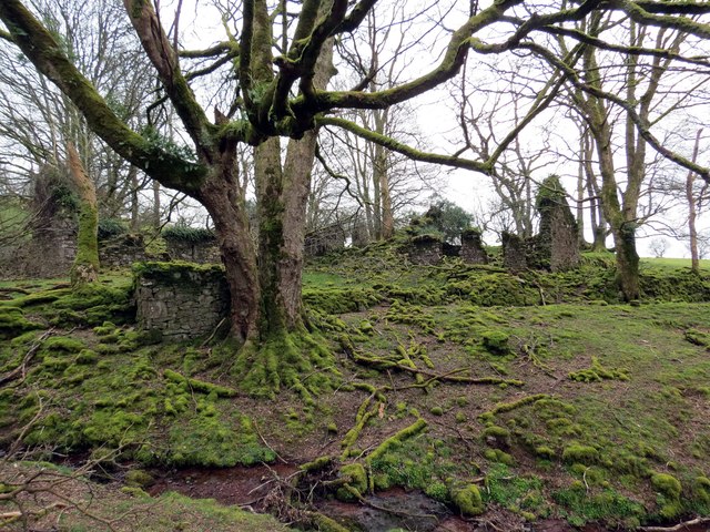
Image: © Alan Richards Taken: 29 Mar 2014
Gweddillion amaethdy anghysbell o'r Pentregronw. Roedd y ffarm yn wag yn 1941. The remains of Pentregronw Farm (trans- Goronwy's chief farm), a once large and remote farmstead. The farm was recorded as being empty in 1941.
Images are licensed for reuse under creativecommons.org/licenses/by-sa/2.0
Image Location
Latitude
51.938664
Longitude
-3.755167