Footpath
Introduction
The photograph on this page of Footpath by Marilyn Peddle as part of the Geograph project.
The Geograph project started in 2005 with the aim of publishing, organising and preserving representative images for every square kilometre of Great Britain, Ireland and the Isle of Man.

There are currently over 7.5m images from over 14,400 individuals and you can help contribute to the project by visiting https://www.geograph.org.uk
Footpath
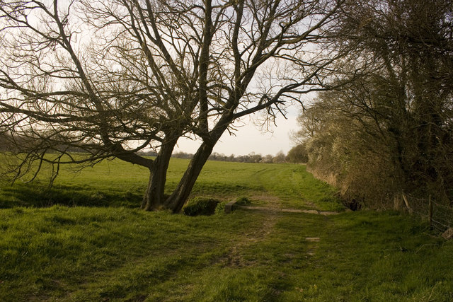
Image: © Marilyn Peddle Taken: 6 Apr 2007
Footpath through fields around the village of Child Okeford. There is a small bridge over a stream in the front of the photo which feeds into the River Stour.
Images are licensed for reuse under creativecommons.org/licenses/by-sa/2.0
Image Location
Latitude
50.913318
Longitude
-2.249443