The Beckhampton Bourne
Introduction
The photograph on this page of The Beckhampton Bourne by Des Blenkinsopp as part of the Geograph project.
The Geograph project started in 2005 with the aim of publishing, organising and preserving representative images for every square kilometre of Great Britain, Ireland and the Isle of Man.

There are currently over 7.5m images from over 14,400 individuals and you can help contribute to the project by visiting https://www.geograph.org.uk
The Beckhampton Bourne
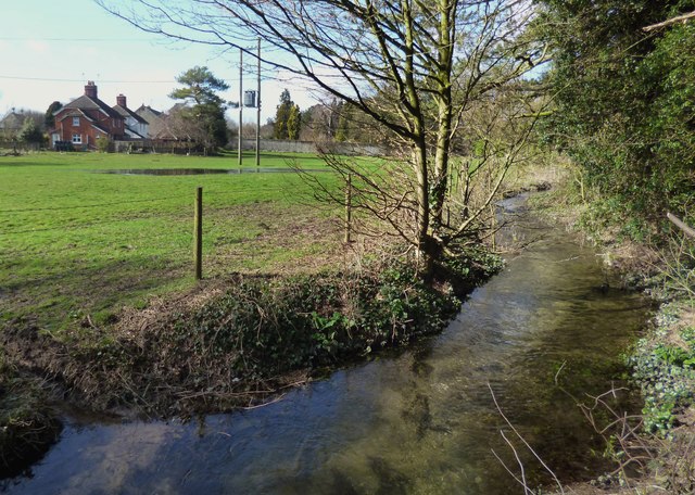
Image: © Des Blenkinsopp Taken: 26 Feb 2014
An ephemeral tributary of the Kennet that only appears when groundwater levels are high. The River Kennet flows west to east for most of its course, but at Avebury the main river changes suddenly to a north - south direction. This stream here is a continuation of the west-east valley and joins the Kennet just by Silbury Hill.
Images are licensed for reuse under creativecommons.org/licenses/by-sa/2.0
Image Location


Leaflet Map data © OpenStreetMap
Latitude
51.418685
Longitude
-1.871964