Footpath junction ?
Introduction
The photograph on this page of Footpath junction ? by Mark Walton as part of the Geograph project.
The Geograph project started in 2005 with the aim of publishing, organising and preserving representative images for every square kilometre of Great Britain, Ireland and the Isle of Man.

There are currently over 7.5m images from over 14,400 individuals and you can help contribute to the project by visiting https://www.geograph.org.uk
Footpath junction ?
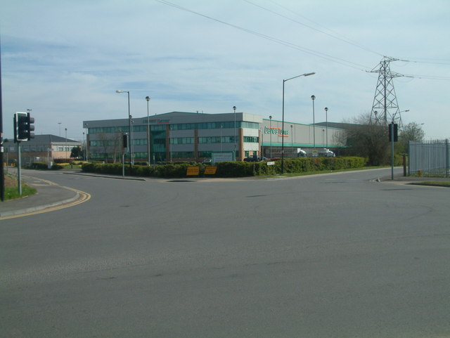
Image: © Mark Walton Taken: 6 Apr 2007
Marked on the map as footpaths they appear to have grown up over recent years. Never the less these roads do provide access to footpaths allowing exit from the industrial estate in a Northerly direction (left) and an easterly direction (right).
Images are licensed for reuse under creativecommons.org/licenses/by-sa/2.0
Image Location
Latitude
52.514907
Longitude
-1.708483