Darnell Way
Introduction
The photograph on this page of Darnell Way by Burgess Von Thunen as part of the Geograph project.
The Geograph project started in 2005 with the aim of publishing, organising and preserving representative images for every square kilometre of Great Britain, Ireland and the Isle of Man.

There are currently over 7.5m images from over 14,400 individuals and you can help contribute to the project by visiting https://www.geograph.org.uk
Darnell Way
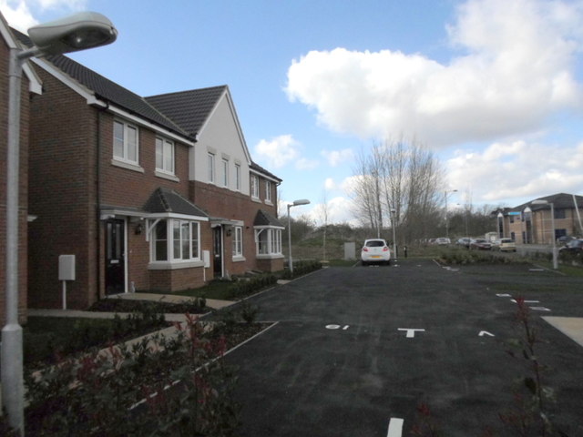
Image: © Burgess Von Thunen Taken: 21 Mar 2014
New houses on a small development called Queens Court by Orbit Homes on the edge of Moulton Park.
Images are licensed for reuse under creativecommons.org/licenses/by-sa/2.0
Image Location
Latitude
52.272549
Longitude
-0.863274