Mill of Waterton
Introduction
The photograph on this page of Mill of Waterton by Ken Fitlike as part of the Geograph project.
The Geograph project started in 2005 with the aim of publishing, organising and preserving representative images for every square kilometre of Great Britain, Ireland and the Isle of Man.

There are currently over 7.5m images from over 14,400 individuals and you can help contribute to the project by visiting https://www.geograph.org.uk
Mill of Waterton
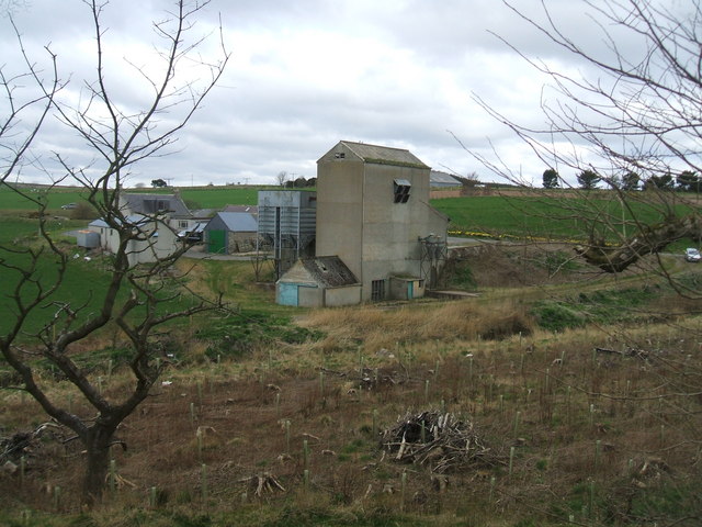
Image: © Ken Fitlike Taken: 6 Apr 2007
Disused grain mill, just off the main Peterhead - Ellon road (Geographer's wee Corsa on extreme right of frame)
Images are licensed for reuse under creativecommons.org/licenses/by-sa/2.0
Image Location
Latitude
57.375389
Longitude
-2.02393