Corner of Kilmarnock Road & High Street, Mauchline
Introduction
The photograph on this page of Corner of Kilmarnock Road & High Street, Mauchline by Leslie Barrie as part of the Geograph project.
The Geograph project started in 2005 with the aim of publishing, organising and preserving representative images for every square kilometre of Great Britain, Ireland and the Isle of Man.

There are currently over 7.5m images from over 14,400 individuals and you can help contribute to the project by visiting https://www.geograph.org.uk
Corner of Kilmarnock Road & High Street, Mauchline
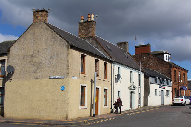
Image: © Leslie Barrie Taken: 26 Mar 2014
Blue plaques from the 'Mauchline Burns Club Trail' are displayed on the first two buildings in High Street. On the yellow building the plaque reads 'Site of James Smith's shop, sister a Mauchline belle'. On the adjoining building the plaque reads 'Home of John Richmond, friend'.
Images are licensed for reuse under creativecommons.org/licenses/by-sa/2.0
Image Location
Latitude
55.516123
Longitude
-4.379441