Worcester's southern relief road
Introduction
The photograph on this page of Worcester's southern relief road by Philip Halling as part of the Geograph project.
The Geograph project started in 2005 with the aim of publishing, organising and preserving representative images for every square kilometre of Great Britain, Ireland and the Isle of Man.

There are currently over 7.5m images from over 14,400 individuals and you can help contribute to the project by visiting https://www.geograph.org.uk
Worcester's southern relief road
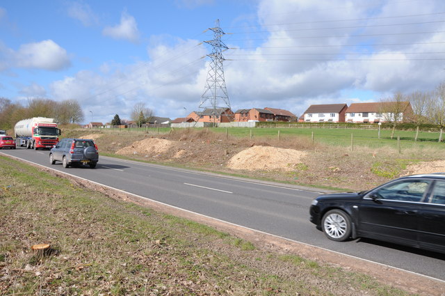
Image: © Philip Halling Taken: 22 Mar 2014
Part of Worcester's southern relief road is undergoing preparation work ready for upgrading it to a dual carriageway, here the hedgerows have been removed.
Images are licensed for reuse under creativecommons.org/licenses/by-sa/2.0
Image Location
Latitude
52.166355
Longitude
-2.207125