Worcester's southern relief road
Introduction
The photograph on this page of Worcester's southern relief road by Philip Halling as part of the Geograph project.
The Geograph project started in 2005 with the aim of publishing, organising and preserving representative images for every square kilometre of Great Britain, Ireland and the Isle of Man.

There are currently over 7.5m images from over 14,400 individuals and you can help contribute to the project by visiting https://www.geograph.org.uk
Worcester's southern relief road
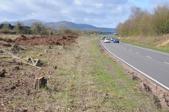
Image: © Philip Halling Taken: 22 Mar 2014
Worcester's southern relief road passing St Peter's. This relief road was built in the 1980s and is about to be upgraded to a dual carriageway; the hedge on the left has been removed in preparation. The north end of the Malvern Hills can be seen in the background, including the Worcestershire Beacon and North Hill.
Images are licensed for reuse under creativecommons.org/licenses/by-sa/2.0
Image Location
Latitude
52.16446
Longitude
-2.211064