Brynmair Road houses, Godreaman
Introduction
The photograph on this page of Brynmair Road houses, Godreaman by Jaggery as part of the Geograph project.
The Geograph project started in 2005 with the aim of publishing, organising and preserving representative images for every square kilometre of Great Britain, Ireland and the Isle of Man.

There are currently over 7.5m images from over 14,400 individuals and you can help contribute to the project by visiting https://www.geograph.org.uk
Brynmair Road houses, Godreaman
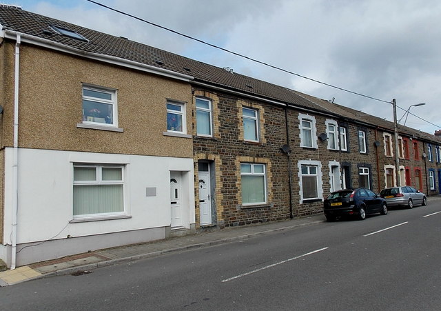
Image: © Jaggery Taken: 22 Feb 2014
Godreaman is between Aberaman and Cwmaman. The literal meanings of the three Welsh names are the edge, the mouth and the valley, of (the River) Aman.
Images are licensed for reuse under creativecommons.org/licenses/by-sa/2.0
Image Location
Latitude
51.691689
Longitude
-3.434817