Mynydd Gelliwastad
Introduction
The photograph on this page of Mynydd Gelliwastad by Alan Richards as part of the Geograph project.
The Geograph project started in 2005 with the aim of publishing, organising and preserving representative images for every square kilometre of Great Britain, Ireland and the Isle of Man.

There are currently over 7.5m images from over 14,400 individuals and you can help contribute to the project by visiting https://www.geograph.org.uk
Mynydd Gelliwastad
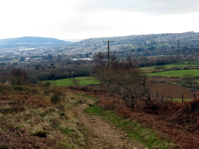
Image: © Alan Richards Taken: 27 Mar 2014
Llwybr ar lethrau deheuol Mynydd Gelliwastad yn mynd tuag at Heol Mynydd Gelliwastad. Y dref yn y pellter yw Treforus. A path descending the southern end of Mynydd Gelliwastad (trans. flat grove mountain). The settlement in the distance is Morriston.
Images are licensed for reuse under creativecommons.org/licenses/by-sa/2.0
Image Location
Latitude
51.69017
Longitude
-3.924506