Junction at the bottom of Fishergate Hill
Introduction
The photograph on this page of Junction at the bottom of Fishergate Hill by Steve Houldsworth as part of the Geograph project.
The Geograph project started in 2005 with the aim of publishing, organising and preserving representative images for every square kilometre of Great Britain, Ireland and the Isle of Man.

There are currently over 7.5m images from over 14,400 individuals and you can help contribute to the project by visiting https://www.geograph.org.uk
Junction at the bottom of Fishergate Hill
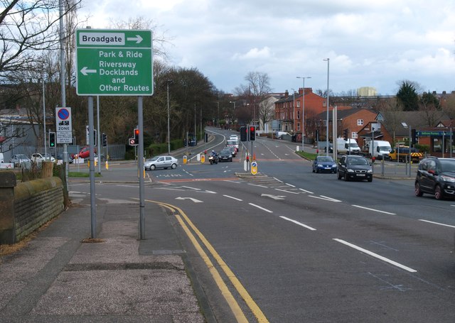
Image: © Steve Houldsworth Taken: 25 Mar 2014
Road Junction where Liverpool road and Fishergate Hill meet, the road to the left is the A5072 going towards Riversway and the Docks. The Guild Wheel track is just out of sight and leads off to the left at the end of the wall.
Images are licensed for reuse under creativecommons.org/licenses/by-sa/2.0
Image Location
Latitude
53.754139
Longitude
-2.716408