"Smeaton" Selflock manhole cover, Newtownards (1)
Introduction
The photograph on this page of "Smeaton" Selflock manhole cover, Newtownards (1) by Albert Bridge as part of the Geograph project.
The Geograph project started in 2005 with the aim of publishing, organising and preserving representative images for every square kilometre of Great Britain, Ireland and the Isle of Man.

There are currently over 7.5m images from over 14,400 individuals and you can help contribute to the project by visiting https://www.geograph.org.uk
"Smeaton" Selflock manhole cover, Newtownards (1)
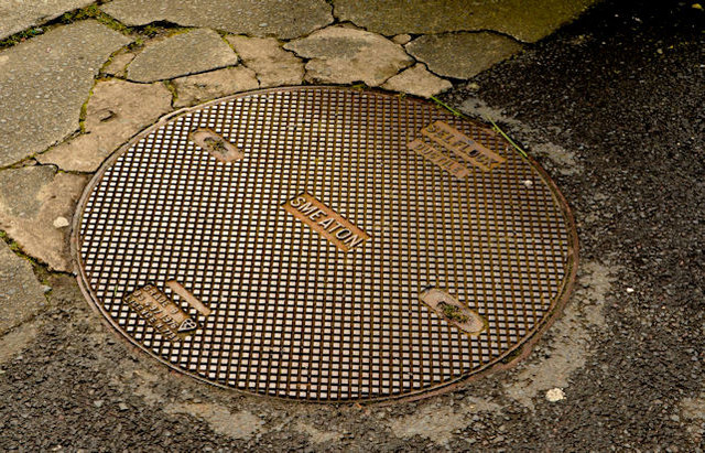
Image: © Albert Bridge Taken: 26 Mar 2014
A Smeaton “Selflock” manhole cover on the Circular Road opposite Regent House school. I cannot find any internet references to this foundry although the name “Smeaton” is famous in connection with lighthouses http://www.geograph.org.uk/search.php?i=47883450 and the Carron foundry http://www.geograph.org.uk/search.php?i=47883479. Further information very welcome. Image shows the date of casting as 1976.
Images are licensed for reuse under creativecommons.org/licenses/by-sa/2.0
Image Location
Latitude
54.588648
Longitude
-5.703388