Huntspill River
Introduction
The photograph on this page of Huntspill River by Roger Cornfoot as part of the Geograph project.
The Geograph project started in 2005 with the aim of publishing, organising and preserving representative images for every square kilometre of Great Britain, Ireland and the Isle of Man.

There are currently over 7.5m images from over 14,400 individuals and you can help contribute to the project by visiting https://www.geograph.org.uk
Huntspill River
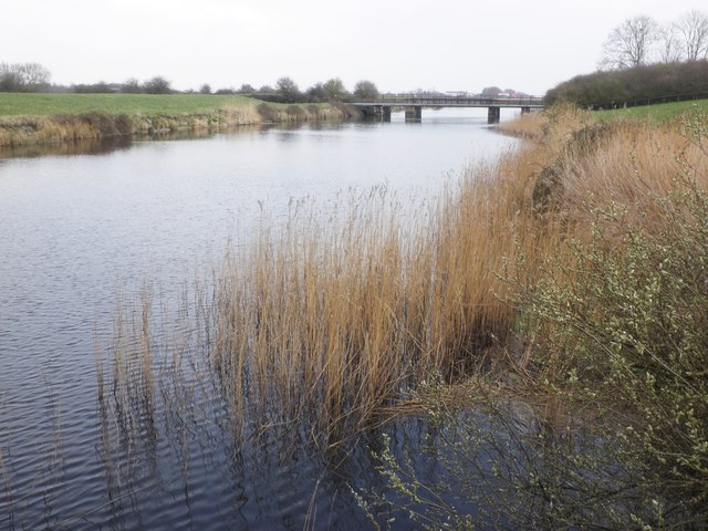
Image: © Roger Cornfoot Taken: 26 Mar 2014
An artificial drainage channel, created to support the activities of the (now defunct) nearby explosives factory.
Images are licensed for reuse under creativecommons.org/licenses/by-sa/2.0
Image Location
Latitude
51.195091
Longitude
-2.977392