Collierley Farm, Dipton
Introduction
The photograph on this page of Collierley Farm, Dipton by Robert Graham as part of the Geograph project.
The Geograph project started in 2005 with the aim of publishing, organising and preserving representative images for every square kilometre of Great Britain, Ireland and the Isle of Man.

There are currently over 7.5m images from over 14,400 individuals and you can help contribute to the project by visiting https://www.geograph.org.uk
Collierley Farm, Dipton
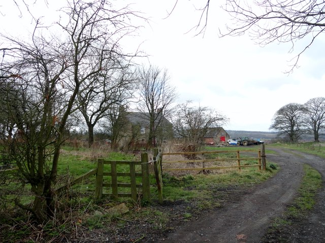
Image: © Robert Graham Taken: 26 Mar 2014
This farm occupies the original site of the medieval settlement at Dipton - then known as Collierley. The centre of the village was later moved higher up the hill about a kilometre and this farm is all that remains of the first village, although of course these buildings are from a much later date.
Images are licensed for reuse under creativecommons.org/licenses/by-sa/2.0
Image Location
Latitude
54.884569
Longitude
-1.762883