OS benchmark - Walsall, Bridgeman Street
Introduction
The photograph on this page of OS benchmark - Walsall, Bridgeman Street by Richard Law as part of the Geograph project.
The Geograph project started in 2005 with the aim of publishing, organising and preserving representative images for every square kilometre of Great Britain, Ireland and the Isle of Man.

There are currently over 7.5m images from over 14,400 individuals and you can help contribute to the project by visiting https://www.geograph.org.uk
OS benchmark - Walsall, Bridgeman Street
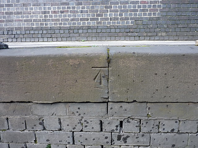
Image: © Richard Law Taken: 21 Mar 2014
A well-formed OS cutmark on stonework just below footpath level where Bridgeman Street drops under the railway; to get this view of it, you have to stand in the road. Originally levelled at 114.757m above Ordnance Datum Newlyn.
Images are licensed for reuse under creativecommons.org/licenses/by-sa/2.0
Image Location


Leaflet Map data © OpenStreetMap
Latitude
52.583228
Longitude
-1.9866