Mapperley Road and Redcliffe Road junction
Introduction
The photograph on this page of Mapperley Road and Redcliffe Road junction by Alan Murray-Rust as part of the Geograph project.
The Geograph project started in 2005 with the aim of publishing, organising and preserving representative images for every square kilometre of Great Britain, Ireland and the Isle of Man.

There are currently over 7.5m images from over 14,400 individuals and you can help contribute to the project by visiting https://www.geograph.org.uk
Mapperley Road and Redcliffe Road junction
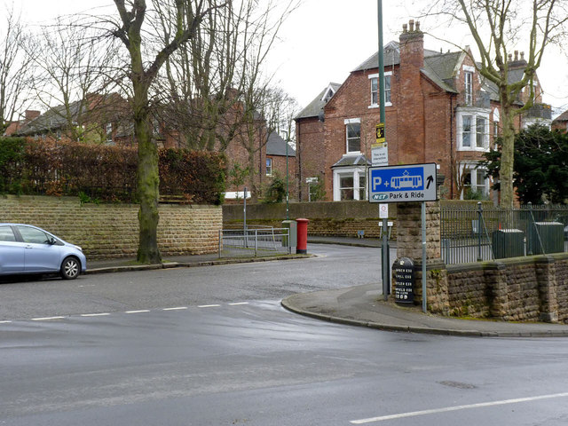
Image: © Alan Murray-Rust Taken: 18 Mar 2014
Note the old boundary marker http://www.geograph.org.uk/photo/3903443 at the apex of the junction. The postbox appears in close up here http://www.geograph.org.uk/photo/3903444
Images are licensed for reuse under creativecommons.org/licenses/by-sa/2.0
Image Location
Latitude
52.968861
Longitude
-1.144836