Entrance to building site at 2 Tanner?s Hill
Introduction
The photograph on this page of Entrance to building site at 2 Tanner?s Hill by John Baker as part of the Geograph project.
The Geograph project started in 2005 with the aim of publishing, organising and preserving representative images for every square kilometre of Great Britain, Ireland and the Isle of Man.

There are currently over 7.5m images from over 14,400 individuals and you can help contribute to the project by visiting https://www.geograph.org.uk
Entrance to building site at 2 Tanner?s Hill
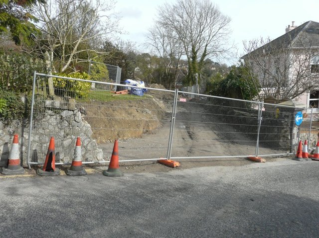
Image: © John Baker Taken: 2 Mar 2014
Planning permission has been approved, with conditions, by Folkestone and Hythe District Council under application number Y11/0159/SH for the “erection of two detached three storey dwellings with upper floor set within roof space, integral garages to each house and formation of a new access to Tanner’s Hill, following demolition of existing dwelling at 5 Station Road”. The site is now occupied by Image
Images are licensed for reuse under creativecommons.org/licenses/by-sa/2.0
Image Location
Latitude
51.07337
Longitude
1.089533