Footpath descending Hazel Hill
Introduction
The photograph on this page of Footpath descending Hazel Hill by Clint Mann as part of the Geograph project.
The Geograph project started in 2005 with the aim of publishing, organising and preserving representative images for every square kilometre of Great Britain, Ireland and the Isle of Man.

There are currently over 7.5m images from over 14,400 individuals and you can help contribute to the project by visiting https://www.geograph.org.uk
Footpath descending Hazel Hill
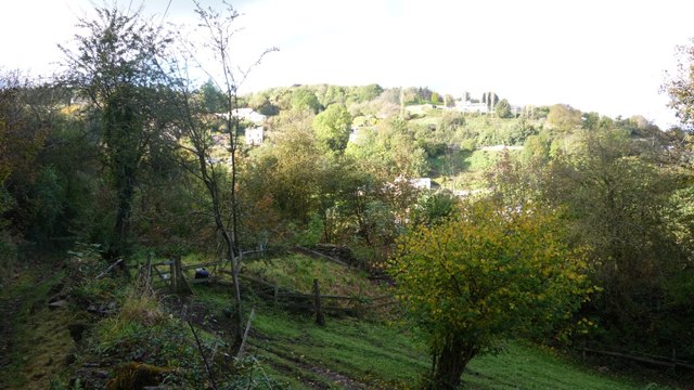
Image: © Clint Mann Taken: 14 Oct 2012
Footpath descends from Hazel Hill which emerges at The Rocks. Image also shows adjacent forest land with A 4136 and Plump Hill in background.
Images are licensed for reuse under creativecommons.org/licenses/by-sa/2.0
Image Location
Latitude
51.849226
Longitude
-2.489335