Climbing Douglas Avenue
Introduction
The photograph on this page of Climbing Douglas Avenue by Alan Murray-Rust as part of the Geograph project.
The Geograph project started in 2005 with the aim of publishing, organising and preserving representative images for every square kilometre of Great Britain, Ireland and the Isle of Man.

There are currently over 7.5m images from over 14,400 individuals and you can help contribute to the project by visiting https://www.geograph.org.uk
Climbing Douglas Avenue
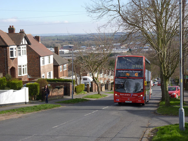
Image: © Alan Murray-Rust Taken: 16 Mar 2014
The topology of the high ground to the east of Nottingham abounds with steep sided valleys, with a consequent effect on the road network. This particular bus route is prone to disruption during snowfall or icy conditions.
Images are licensed for reuse under creativecommons.org/licenses/by-sa/2.0
Image Location
Latitude
52.961469
Longitude
-1.093471