Painswick Community Fire and Rescue Station
Introduction
The photograph on this page of Painswick Community Fire and Rescue Station by Jaggery as part of the Geograph project.
The Geograph project started in 2005 with the aim of publishing, organising and preserving representative images for every square kilometre of Great Britain, Ireland and the Isle of Man.

There are currently over 7.5m images from over 14,400 individuals and you can help contribute to the project by visiting https://www.geograph.org.uk
Painswick Community Fire and Rescue Station
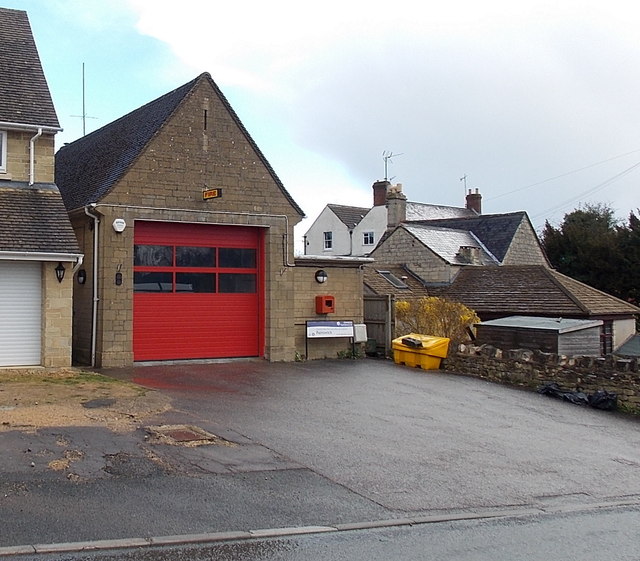
Image: © Jaggery Taken: 23 Mar 2014
Viewed across Pullens Road Painswick in March 2014. http://www.geograph.org.uk/photo/176802 to a view taken in May 2006. The small station is part of Gloucestershire Fire & Rescue Service.
Images are licensed for reuse under creativecommons.org/licenses/by-sa/2.0
Image Location
Latitude
51.788408
Longitude
-2.192919