Western end of St Lawrence Close, Chepstow
Introduction
The photograph on this page of Western end of St Lawrence Close, Chepstow by Jaggery as part of the Geograph project.
The Geograph project started in 2005 with the aim of publishing, organising and preserving representative images for every square kilometre of Great Britain, Ireland and the Isle of Man.

There are currently over 7.5m images from over 14,400 individuals and you can help contribute to the project by visiting https://www.geograph.org.uk
Western end of St Lawrence Close, Chepstow
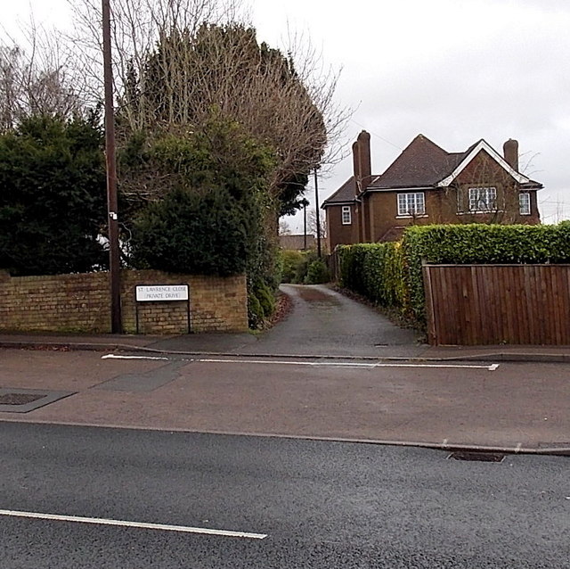
Image: © Jaggery Taken: 15 Dec 2013
Viewed across Wye Valley Link Road. The name sign shows that St Lawrence Close is a private drive.
Images are licensed for reuse under creativecommons.org/licenses/by-sa/2.0
Image Location
Latitude
51.636858
Longitude
-2.686161