Inglemire Lane (west end)
Introduction
The photograph on this page of Inglemire Lane (west end) by George Robinson as part of the Geograph project.
The Geograph project started in 2005 with the aim of publishing, organising and preserving representative images for every square kilometre of Great Britain, Ireland and the Isle of Man.

There are currently over 7.5m images from over 14,400 individuals and you can help contribute to the project by visiting https://www.geograph.org.uk
Inglemire Lane (west end)
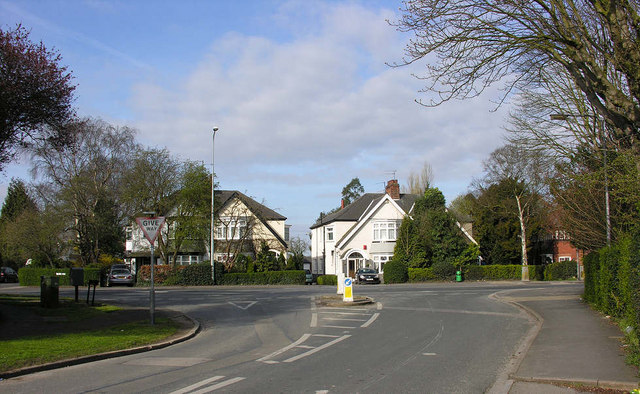
Image: © George Robinson Taken: 6 Apr 2007
The junction of Inglemire Lane with Hull Road, Cottingham showing typical substantial residences which lie on each side of this section of Hull Road.
Images are licensed for reuse under creativecommons.org/licenses/by-sa/2.0
Image Location
Latitude
53.777399
Longitude
-0.397945