Farmland and Offa's Dyke Path
Introduction
The photograph on this page of Farmland and Offa's Dyke Path by Philip Halling as part of the Geograph project.
The Geograph project started in 2005 with the aim of publishing, organising and preserving representative images for every square kilometre of Great Britain, Ireland and the Isle of Man.

There are currently over 7.5m images from over 14,400 individuals and you can help contribute to the project by visiting https://www.geograph.org.uk
Farmland and Offa's Dyke Path
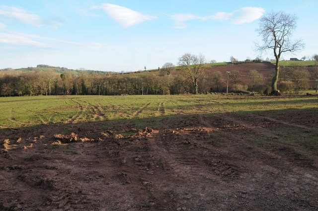
Image: © Philip Halling Taken: 15 Mar 2014
Offa's Dyke Path crossing this field near Llangattock Lingoed.
Images are licensed for reuse under creativecommons.org/licenses/by-sa/2.0
Image Location


Leaflet Map data © OpenStreetMap
Latitude
51.865205
Longitude
-2.926645