Westbury Brook and Plump Hill from near Shapridge
Introduction
The photograph on this page of Westbury Brook and Plump Hill from near Shapridge by Clint Mann as part of the Geograph project.
The Geograph project started in 2005 with the aim of publishing, organising and preserving representative images for every square kilometre of Great Britain, Ireland and the Isle of Man.

There are currently over 7.5m images from over 14,400 individuals and you can help contribute to the project by visiting https://www.geograph.org.uk
Westbury Brook and Plump Hill from near Shapridge
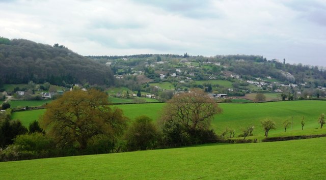
Image: © Clint Mann Taken: 16 Apr 2012
An Easter view across fields down to Westbury Brook from track between Shapridge and Abenhall. Horses are often found in these grassy fields near the track. In the distance are dwellings on Plump Hill, where the A 4136 climbs and turns.
Images are licensed for reuse under creativecommons.org/licenses/by-sa/2.0
Image Location
Latitude
51.849998
Longitude
-2.476423