Coopers Arms
Introduction
The photograph on this page of Coopers Arms by Ian Capper as part of the Geograph project.
The Geograph project started in 2005 with the aim of publishing, organising and preserving representative images for every square kilometre of Great Britain, Ireland and the Isle of Man.

There are currently over 7.5m images from over 14,400 individuals and you can help contribute to the project by visiting https://www.geograph.org.uk
Coopers Arms
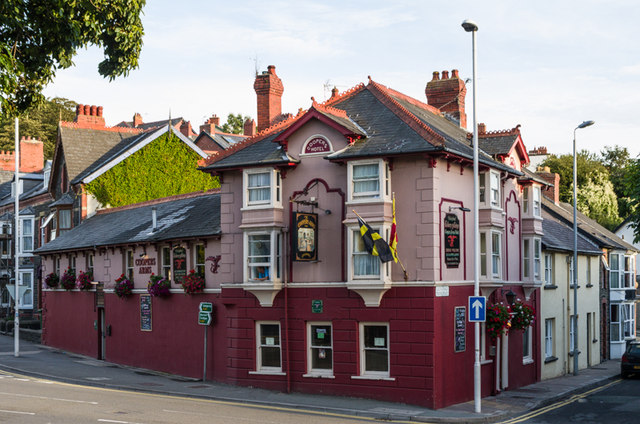
Image: © Ian Capper Taken: 28 Aug 2013
Pub on Northgate Street by its junction with Pound Place. Records show that it was in existence in at least 1868.
Images are licensed for reuse under creativecommons.org/licenses/by-sa/2.0
Image Location


Leaflet Map data © OpenStreetMap
Latitude
52.415982
Longitude
-4.078