Randalls Road
Introduction
The photograph on this page of Randalls Road by Hugh Craddock as part of the Geograph project.
The Geograph project started in 2005 with the aim of publishing, organising and preserving representative images for every square kilometre of Great Britain, Ireland and the Isle of Man.

There are currently over 7.5m images from over 14,400 individuals and you can help contribute to the project by visiting https://www.geograph.org.uk
Randalls Road
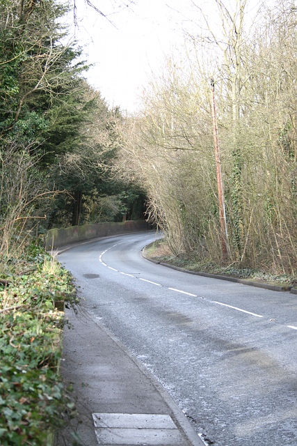
Image: © Hugh Craddock Taken: 2 Mar 2014
Randalls Road, between nos. 54 and 69 (there are no intervening house numbers: it seems numbers along this stretch of Randalls Road were allocated on the basis that all possible sites would be developed). This stretch of Randalls Road, between Cleeve Road and River Lane, is the unimproved Randalls Lane, and remains narrow with an equally narrow pavement.
Images are licensed for reuse under creativecommons.org/licenses/by-sa/2.0
Image Location
Latitude
51.302672
Longitude
-0.345143