Turning circle, Rubislaw Den South, Aberdeen
Introduction
The photograph on this page of Turning circle, Rubislaw Den South, Aberdeen by Bill Harrison as part of the Geograph project.
The Geograph project started in 2005 with the aim of publishing, organising and preserving representative images for every square kilometre of Great Britain, Ireland and the Isle of Man.

There are currently over 7.5m images from over 14,400 individuals and you can help contribute to the project by visiting https://www.geograph.org.uk
Turning circle, Rubislaw Den South, Aberdeen
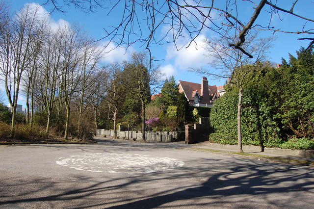
Image: © Bill Harrison Taken: 16 Mar 2014
Rubislaw Den South has an exit onto the A90 to the left of the picture, but access from the A90 has been blocked off, hence the turning circle.
Images are licensed for reuse under creativecommons.org/licenses/by-sa/2.0
Image Location
Latitude
57.141933
Longitude
-2.144567