Annandale Way
Introduction
The photograph on this page of Annandale Way by Oliver Dixon as part of the Geograph project.
The Geograph project started in 2005 with the aim of publishing, organising and preserving representative images for every square kilometre of Great Britain, Ireland and the Isle of Man.

There are currently over 7.5m images from over 14,400 individuals and you can help contribute to the project by visiting https://www.geograph.org.uk
Annandale Way
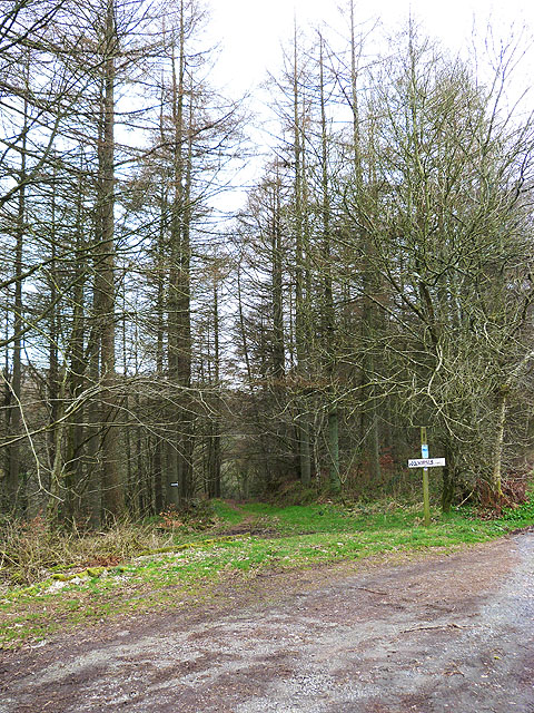
Image: © Oliver Dixon Taken: 17 Mar 2014
The Annandale Way http://www.annandaleway.org is a new 88km long-distance path which tracks the River Annan from source to sea. At this point, if following from sea to source, the Way leaves the road and follows the river bank as far as Williamwath Bridge.
Images are licensed for reuse under creativecommons.org/licenses/by-sa/2.0
Image Location
Latitude
55.068584
Longitude
-3.378159