The old A41
Introduction
The photograph on this page of The old A41 by Richard Law as part of the Geograph project.
The Geograph project started in 2005 with the aim of publishing, organising and preserving representative images for every square kilometre of Great Britain, Ireland and the Isle of Man.

There are currently over 7.5m images from over 14,400 individuals and you can help contribute to the project by visiting https://www.geograph.org.uk
The old A41
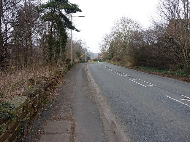
Image: © Richard Law Taken: 14 Mar 2014
The Chetwynd Road, formerly the A41 main route north to Chester, just outside Newport.
Images are licensed for reuse under creativecommons.org/licenses/by-sa/2.0
Image Location
Latitude
52.778318
Longitude
-2.381988