The Arc Development at Abercorn Basin
Introduction
The photograph on this page of The Arc Development at Abercorn Basin by Eric Jones as part of the Geograph project.
The Geograph project started in 2005 with the aim of publishing, organising and preserving representative images for every square kilometre of Great Britain, Ireland and the Isle of Man.

There are currently over 7.5m images from over 14,400 individuals and you can help contribute to the project by visiting https://www.geograph.org.uk
The Arc Development at Abercorn Basin
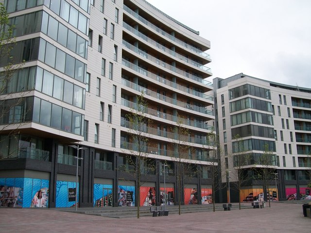
Image: © Eric Jones Taken: 18 May 2012
The ground floor shops await an up-turn in the economy.
Images are licensed for reuse under creativecommons.org/licenses/by-sa/2.0
Image Location
Latitude
54.604919
Longitude
-5.912043