East end of Wrottesley Road, Tettenhall (1)
Introduction
The photograph on this page of East end of Wrottesley Road, Tettenhall (1) by Richard Vince as part of the Geograph project.
The Geograph project started in 2005 with the aim of publishing, organising and preserving representative images for every square kilometre of Great Britain, Ireland and the Isle of Man.

There are currently over 7.5m images from over 14,400 individuals and you can help contribute to the project by visiting https://www.geograph.org.uk
East end of Wrottesley Road, Tettenhall (1)
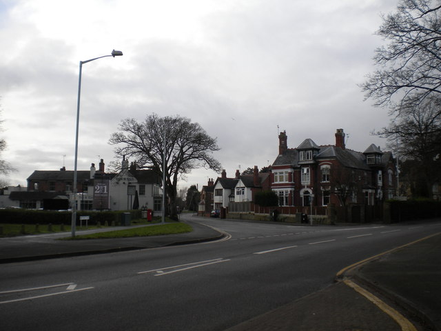
Image: © Richard Vince Taken: 10 Jan 2014
Trolleybuses on route 1 from Wolverhampton town centre once turned in this junction, and after their replacement on this route in 1963, motorbuses did the same until the route was extended to Tettenhall Wood via Regis Road in the mid 1980s. The junction has since been remodelled, so I doubt one could turn a bus in it now.
Images are licensed for reuse under creativecommons.org/licenses/by-sa/2.0
Image Location
Latitude
52.599915
Longitude
-2.171665