Blue bus shelter near a primary school, Bryncoch
Introduction
The photograph on this page of Blue bus shelter near a primary school, Bryncoch by Jaggery as part of the Geograph project.
The Geograph project started in 2005 with the aim of publishing, organising and preserving representative images for every square kilometre of Great Britain, Ireland and the Isle of Man.

There are currently over 7.5m images from over 14,400 individuals and you can help contribute to the project by visiting https://www.geograph.org.uk
Blue bus shelter near a primary school, Bryncoch
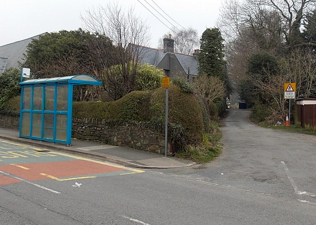
Image: © Jaggery Taken: 14 Mar 2014
Viewed across Main Road. The road on the right leads to an entrance to Bryncoch Church in Wales primary school.
Images are licensed for reuse under creativecommons.org/licenses/by-sa/2.0
Image Location
Latitude
51.684926
Longitude
-3.819112