Main Street, Uddingston
Introduction
The photograph on this page of Main Street, Uddingston by Lairich Rig as part of the Geograph project.
The Geograph project started in 2005 with the aim of publishing, organising and preserving representative images for every square kilometre of Great Britain, Ireland and the Isle of Man.

There are currently over 7.5m images from over 14,400 individuals and you can help contribute to the project by visiting https://www.geograph.org.uk
Main Street, Uddingston
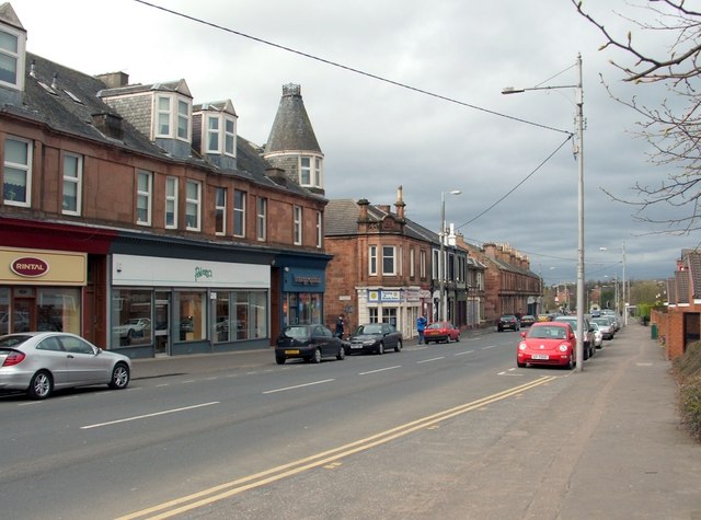
Image: © Lairich Rig Taken: 1 Apr 2005
The view is superficially similar to another contributor's picture of the Main Street (Image), but the present photograph was taken from a point about 500 metres further to the north. The people near the middle of the picture are standing beside the junction with Gardenside Street. The view is from the junction with Lower Millgate. My thanks to John M, who pointed out that parts of the building near the centre of the picture, on the far side of Gardenside Street, where the people are standing, was used as a drill hall in the First World War. John also supplied the following useful Canmore link with further details: https://canmore.org.uk/site/333024/uddingston-163-main-street-drill-hall
Images are licensed for reuse under creativecommons.org/licenses/by-sa/2.0
Image Location
Latitude
55.82213
Longitude
-4.084228